











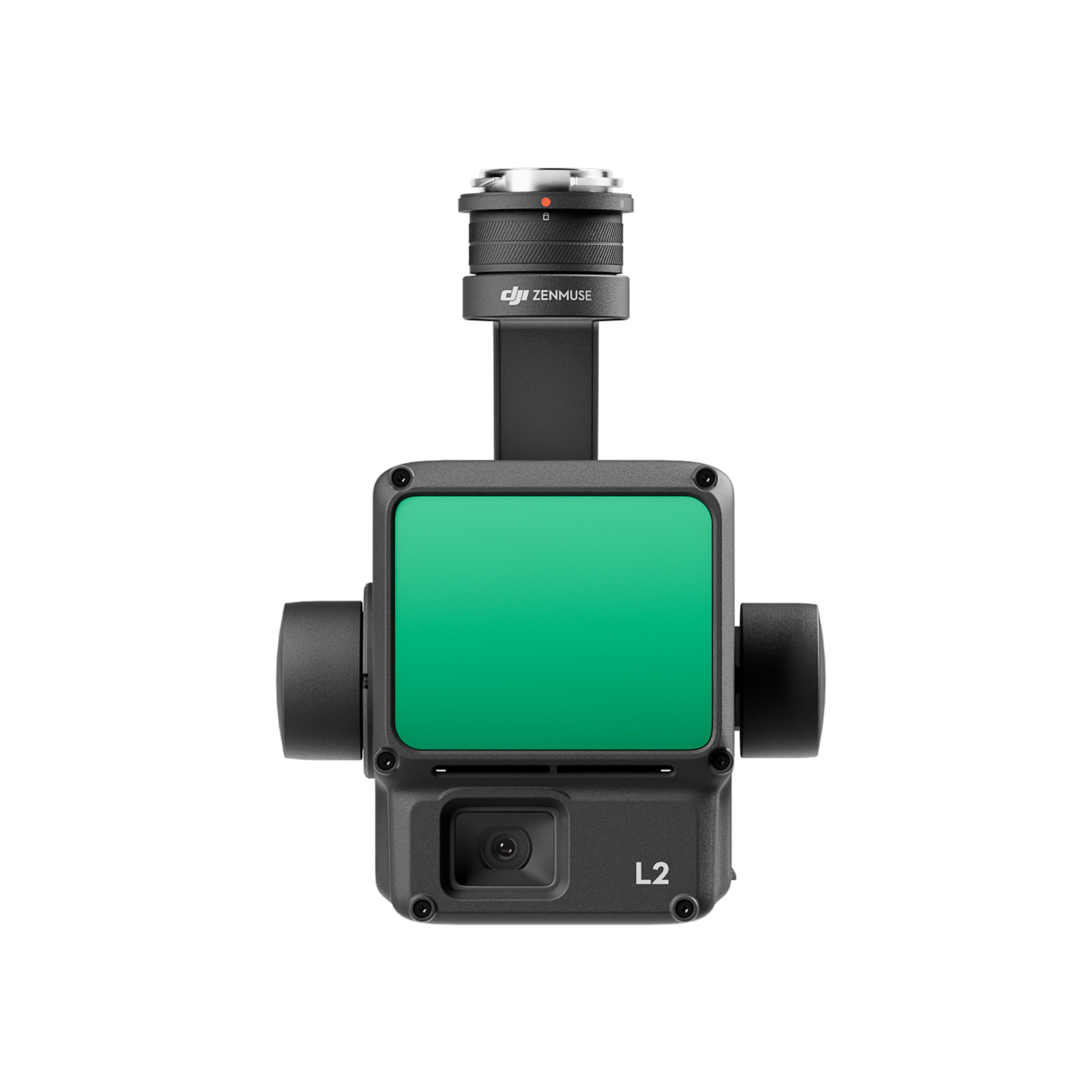


High-accuracy LiDAR for mapping and surveying
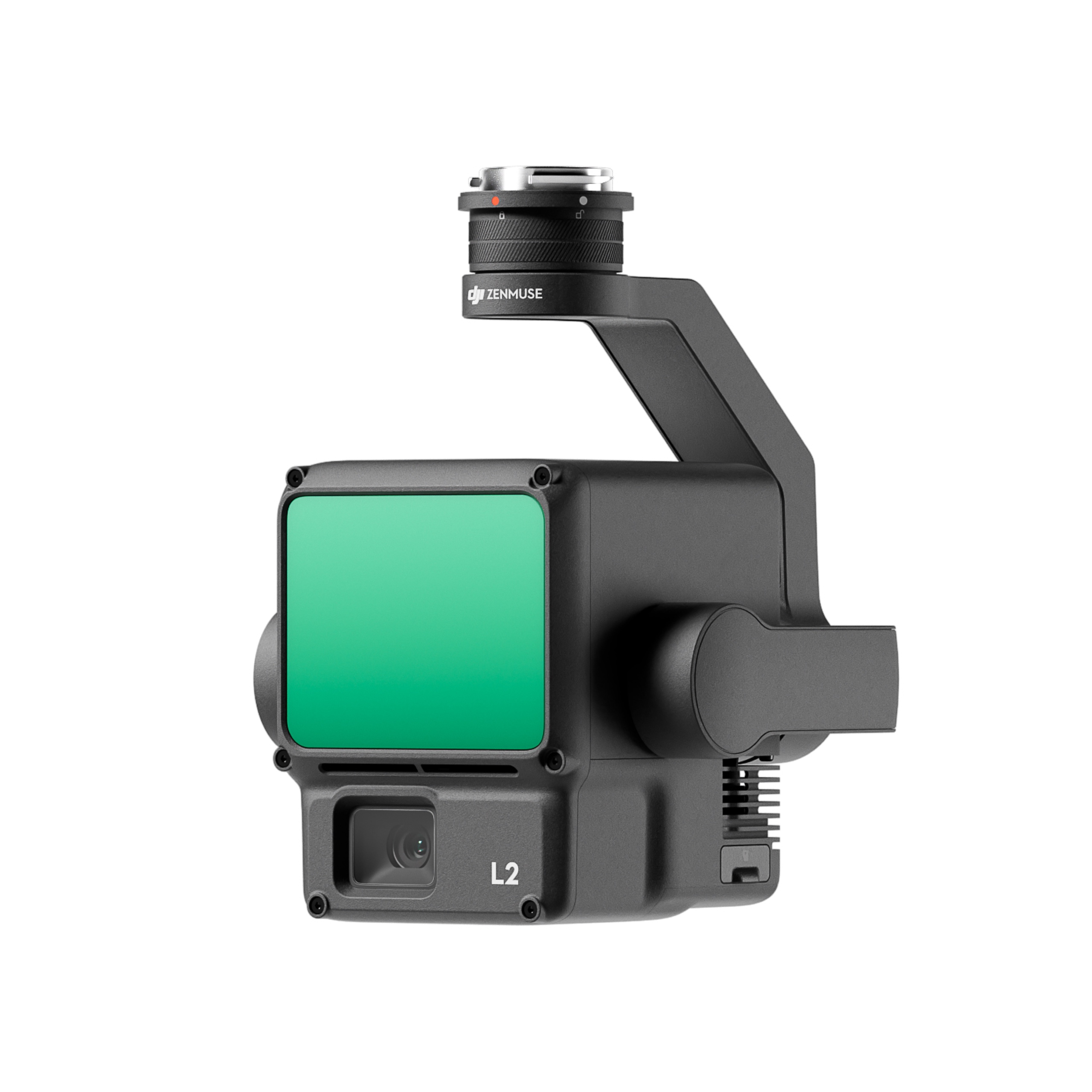
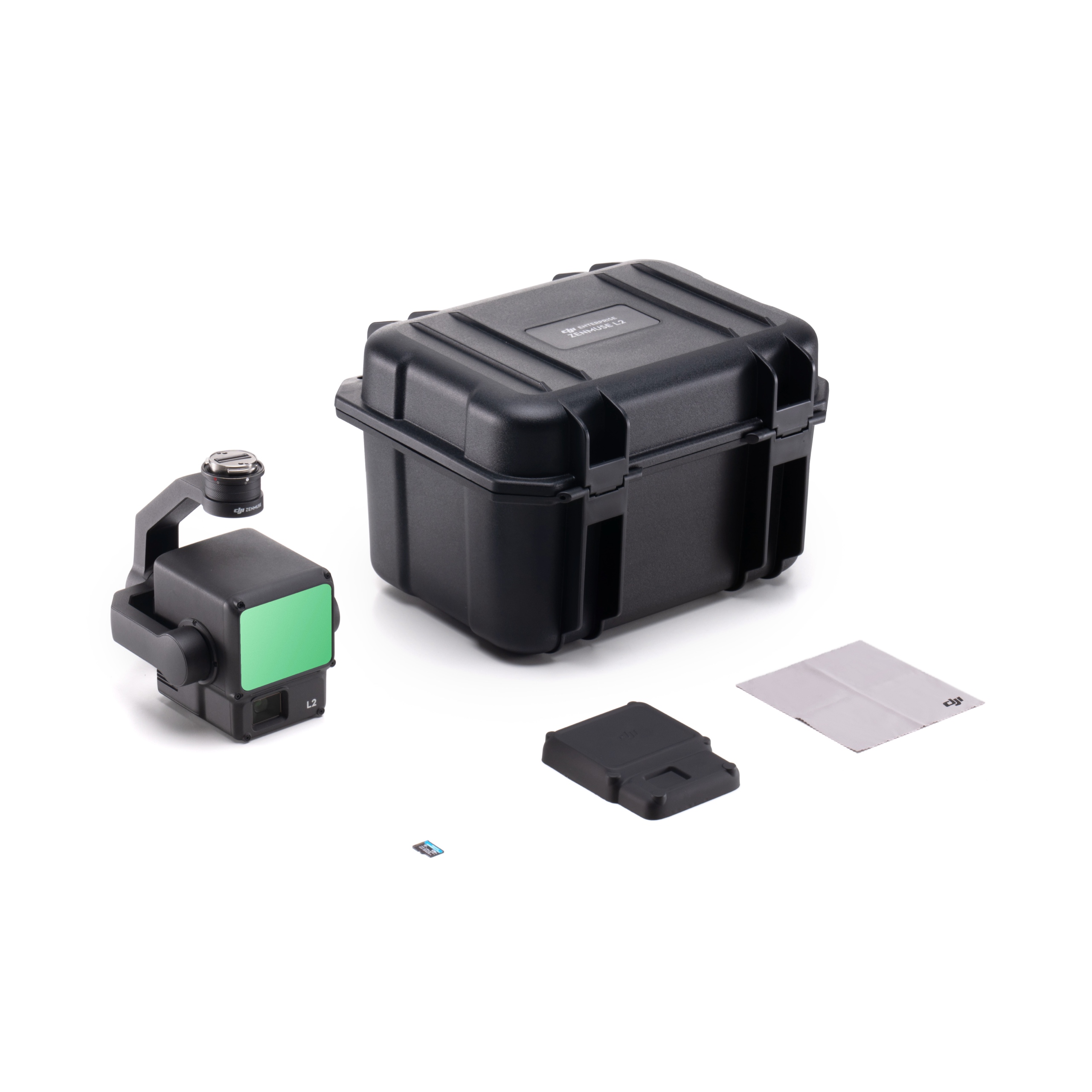
DJI Zenmuse L2 combines LiDAR, an RGB camera and a high-accuracy inertial navigation system. It produces accurate 3D point clouds for surveying, forestry, energy and construction.
- Detection range of 250 m (10% reflectivity) and 450 m (50% reflectivity)
- Up to 5 returns for better vegetation penetration
- Up to 240,000 points/s (single return) and 1,200,000 points/s (multiple returns)
- Accuracy of 5 cm horizontal and 4 cm vertical at 150 m
- RGB camera with 4/3 CMOS 20MP sensor
- Live point cloud view and one-click processing in DJI Terra
- IP54 protection, weighs about 905 g
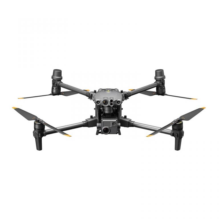
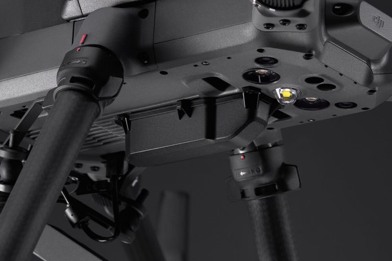
Compatible with the DJI Matrice 350 RTK and Matrice 300 RTK (with DJI RC Plus). For a quote, demonstration and training, contact our store in Peristeri.